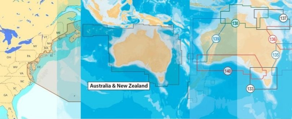
There is no doubt that you operate your boat very responsibly. But, safe boating is a lot more than that! Getting to know the latest equipment and familiarizing with efficient, advanced marine electronics like fishfinders, depth sounders, electronic marine charts, etc. can certainly add up to your expert knowledge of the waters.
Dangers on the local waters and unpredictable weather conditions may not harmonize with your expertise and get in the way of your safe operations sometimes. In those cases, taking precautionary measures before heading out will work in your favour.
Before setting out on a sail, referring to marine charts in Australia can help you predict and prepare for hazards on the river, lake, or ocean. Many nautical publications publish relevant information that is enough to get a fair idea of the location of potential hazards. Similarly, using efficient charts like Navionics marine charts can help you locate safe shelters and harbours nearby. Local marinas can also give you information about certain hazards that you should look out for in a particular region.
What to Know
Waterway maps are known as marine charts. You can see the location of markers, buoys, local water hazards, and safe navigation routes. You can use this information to ensure that waterways are safely navigable for you.
Things to know:
- Using a compass along with marine charts
- Positioning methods
- Locating and referencing navigation aids on a marine chart
- Using electronic navigation equipment properly
- Plotting a course using a marine chart
You must check navigational publications and references, including tide tables, times of slack, low and high tides, water levels, direction of flow, etc. Marine charts and tide tables are published by the Australian National Tide Tables (ANTTs) in Australia, the National Oceanic and Atmospheric Administration (NOAA) in the USA, and the Canadian Hydrographic Service (CHS) in Canada.
An electronic marine chart gives information about the latest changes in buoys, water depths, as well as routes as updated by ANTTs.
Electronic Marine Charts Depict:
- Aids to Navigation including buoys, lights, and markers
- Traffic routes
- Depth
- Underwater hazards
- Character and location of shipping routes on the chart
- Landmarks around a water body and adjoining coastal areas
- Navigational hazards
- Shelter locations in the cases of bad weather
These are some of the many ways in which electronic marine charts facilitate safe boating. Get one for your boat today!

