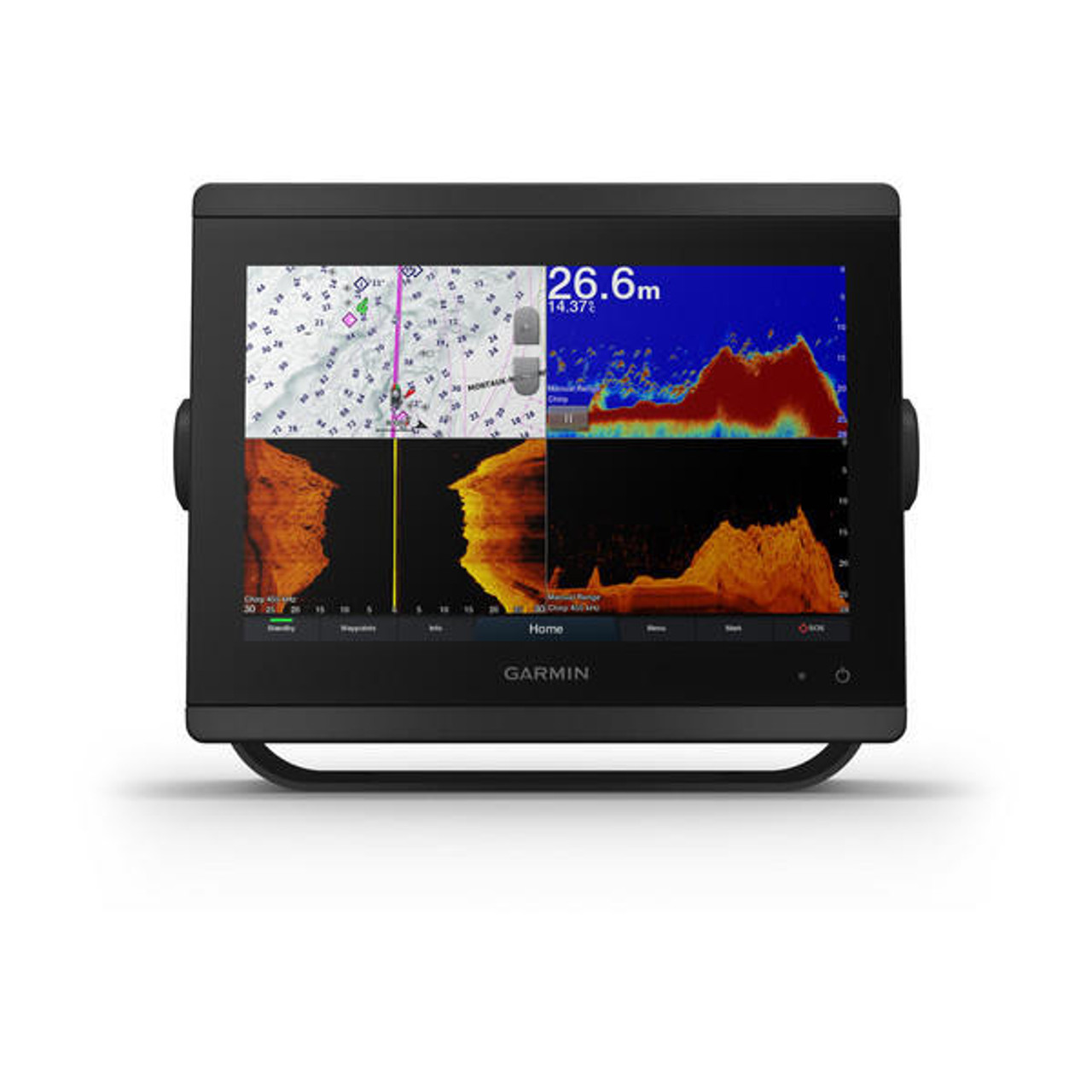
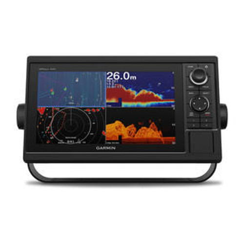
Product Description
GPSMAP® 8410xsv Sonar/Combo
PART NUMBER: 010-02091-02
Introducing the new Garmin GPSMAP 8000 Series - Take Control of a Gorgeous Helm with Garmin Marine. Available with 3 screen sizes. Launched Feburary 2019
These 10", 12" and 16" chartplotters include a full HD in-plane changing (IPS) touchscreen screen for bigger watching angles, remarkable clarity and also sunlight readability, despite having polarized sunglasses. The xsvmodels use built-in support for our industry-leading finder, consisting of dual-channel 1 kW traditional CHIRP, ClearVü and SideVü scanning finders. All designs sustain the Panoptix LiveScope system and also the entire Panoptix ™ all-seeing finder line. Experience superior connectivity and networking solutions with full control of your entire system, right at your fingertips. The chartplotters consist of a premium-performance processor for our fastest map drawing, premium networking, video circulation as well as more.
Numerous display screens can be level installed edge-to-edge to create a smooth glass helm look or placed flush. NMEA 2000 ® networking as well as the Garmin Marine Network allow you to conveniently build your full aquatic electronics collection-- from radar, auto-pilots and also cameras to instruments, electronic switching and media-- controlled from your chartplotter as well as shared across multiple displays. With SmartMode ™, everything is created to offer you quick, one-touch accessibility to the info you require to alleviate high stress and anxiety scenarios such as docking. For complete control of your boat on your chartplotter screen, utilize the OneHelm ™ function to connect to numerous third-party tools. The built-in SailAssist feature gives data, displays as well as prerace support required to obtain a competitive edge. Download and install the ActiveCaptain ® application to your smart device or tablet to handle your aquatic experience from anywhere-- from trip planning and prefishingto upgrading software Complete HD display screen with pinch-to-zoom touchscreen control has greatest resolution on the marine market
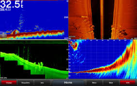
Set up the full system to provide 1-touch setup accessibility for docking, cruising, fishing, securing and also a lot more
Attractive glass helm look with ability to install multiple screens either flush or flat mounted edge-to-edge
High-performance processor provides our fastest map attracting ever and enhanced video clip handling
Provides an exceptional individual experience throughout your entire network for radar, sonar and also multimedia
GPSMAP 8410 large-format multifunction screen includes a 10-inch full HD display with touch control. Sunlight-readable, anti-glare display is extremely simple to watch and also consists of auto-dimming function for use in low light or during the night. New maximum glass style enables you to experience a wonderfully effective, totally networked helm at your fingertips. In-plane changing (IPS) LCD display-- a market first for this class-- provides constant, exact colors from all viewing angles. It likewise supplies typical USB touch result for usage as a touchscreen screen for Windows ® as well as Mac ® operating systems. Set up several screens with the sector's cheapest flush-mount account or flat install them edge-to-edge to develop a smooth glass helm look. Quick, 1-touch accessibility to the details you need makes boating much easier.
The Garmin Marine GPSMAP 8410xsv at a Glimpse.
Full System Integration
GPSMAP 8410 incorporates different finder innovations along with autopilot, connectivity, applications, engine data and also multi-media. User information can be automatically synced for all networked 8400/8600 collection chartplotters throughout several helms-- everything you require is at your fingertips, all on 1 screen. A full digital changing system utilizes CZone modern technology. You can power up your watercraft while away from the dock, turn on pumps and control lights-- even undersea lights. Nearly all of your controls are readily available right at your fingertips either at the helm or programmed into a remote vital fob or an application on your tablet offered by CZone by Mastervolt.
Assimilation
New High-performance Processor
Experience the fluidity of our fastest map drawing ever and improved video processing. Add up to 4 IP video camera streams and also simultaneous Garmin Helm ™ support. On top of that, all your included sensors, such as radar, finder, multimedia and more, will certainly take advantage of the boosted efficiency to give a costs experience throughout your watercraft's entire network.
Processor
Customize Layouts with SmartMode ™ Control
To make boating easier, GPSMAP 8410 consists of presets for sonar, radar, video cameras, media and electronic changing, which can be independent or integrated right into SmartMode. With SmartMode control, you can promptly alter all displays at a helm in sync to a preset mode, for instance, angling, docking, night cruising, and so on. One-touch gain access to allows you to change all monitors in sync from 1 setting to another without manually changing each display individually. Fully personalized designs, information as well as gauges allow you to position the details you require to see appropriate where you desire it.
Garmin Marine Network and NMEA 2000 ® Network Assistance
Full-network compatibility permits you to add more to your watercraft. GPSMAP 8410 supports radar, autopilot, instruments, numerous screens, FUSION-Link ™ amusement system, sensors, remote sonar modules, digital changing, weather, thermal cams, GRID ™ remote gadget and also more. It's likewise FLIR camera compatible as well as provides SiriusXM assistance.
View Numerous Finder Sources Concurrently
GSD ™ 26 CHIRP expert finder, GSD 24 progressed sonar, and also GCV ™ 10 or GSD 25 ClearVü and SideVü scanning finder, also Garmin Panoptix ™ all-seeing finder, can feed on the same system. You can check out numerous sonars together on 1 display or throughout numerous displays in multi-display systems.
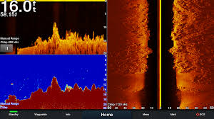 Sonar
Sonar
Add Array or Dome Radar
You can add your choice of Garmin marine radar, including our powerful xHD2 open-array radars, GMR Fantom ™ open-array radars with MotionScope ™ technology or xHD dome radars that pair convenience of usage with sophisticated open-array functions.
Dome-radar
Network Sharing
GPSMAP 8410 allows you to share functions with various other compatible GPSMAP systems such as radar, additional maps and also user data, consisting of waypoints, courses and tracks. You can also share photos from Garmin VIRB ® action cameras, GC ™ 10 aquatic electronic cameras and FLIR video cameras. Customer data participated in 1 chartplotter can be automatically synced with other chartplotters in a network.
Heading, Placement Refreshed 10 Times per Second
Quick, receptive 10 Hz GENERAL PRACTITIONER freshens your position as well as heading 10 times each 2nd to make your activity on the screen a lot more fluid. Currently, it's quick as well as simple to drop as much as 5,000 precise waypoints as well as discover your way back to them.
SailAssist Features
Sustained cruising features consist of laylines, enhanced wind rose, heading as well as course-over-ground lines, real wind data areas as well as tide/current/time slider. Racing functions consist of pre-race support, synchronized race timer, online starting line, time to burn and layline information fields. Assess screens are made to provide vital, need-to-know information at a look, including true as well as noticeable wind angle, collection as well as drift, real or noticeable wind rate, straight or vertical graphs and an information bar with customizable data fields.
Sail
Create your very own HD maps
Quickdraw Contours is a totally free, user friendly software application feature currently installed on your suitable Garmin combination. It immediately produces your very own personalized HD angling maps with 1-foot contours. Customize them to fit your requirements. They are your maps-- you possess them. Maintain the data to on your own, or share it with the Quickdraw Area on Garmin Connect ™. There's no unique surveying proficiency needed. You just fish while it creates maps You do not have to wait around or send your files away like various other mapping software program calls for-- your results show up promptly. Usage with any of the following sonar transducers: Garmin Panoptix ™, HD-ID ™ conventional, CHIRP-enabled, Garmin ClearVü ™ or NMEA 2000 ®- compatible depth. Have greater than 1 finder gadget set up onboard? Quickdraw Contours instantly picks the most qualified sonar tool to give the best results for you!
Maps.
Upgrade to Our Best Maps on the Water
Include a Garmin Marine Card Visitor that offers hassle-free remote mounting and a solitary accessibility point for 2 SD ™ card ports for accessory map purchases such as LakeVü HD Ultra with MaxDef Lakes, BlueChart g2 HD or BlueChart ® g2 Vision ® HD, which add Garmin-patented Auto Support 3.0 as well as other fantastic functions. You can add several card visitors for additional accessibility points. The water resistant magnetic door enables card reader to be placed flat or vertically (marketed independently).
Upgrade
FUSION-Link Enjoyment System
Enjoy the capability to regulate all compatible FUSION-Link-enabled audio systems straight from your compatible chartplotter display screen.
Built-in Connection
It's very easy to attach to peripheral devices with integrated Wi-Fi ® connectivity, ANT ® innovation, 4 wired Ethernet ports, NMEA 2000, HDMI as well as USB ports with total network compatibility.
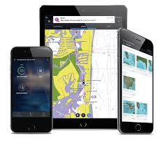 The Ultimate Connected Boating Application
Built in Wi-Fi offers you accessibility to the cost-free all-in-one ActiveCaptain ® application, so you can handle your aquatic experience from virtually anywhere. It produces a straightforward yet powerful link between your compatible mobile device as well as your Garmin chartplotter, charts, maps and also the boating neighborhood. Wherever you are, you'll have unlimited access to your cartography, the capability to acquire brand-new maps as well as graphes and also accessibility to the Garmin Quickdraw ™ Contours Neighborhood. Remain gotten in touch with clever notifications on your chartplotter display. You can additionally intend a trip or prefish a lake, as well as ActiveCaptain will instantly sync with your chartplotter. Also get notifications for software program updates, and also choose when to download them on your tool.
Multiple Depth Variety Shading
Mark as much as 10 different depth ranges each with its own shade. Makes it simpler to view target midsts at a look.
Several Deepness Variety Shading
Payment Autopilot from Chartplotter
To make commissioning much easier and easier, you can deal with the entire autopilot commissioning procedure from your chartplotter screen.
Axis and also FLIR Electronic Camera Support
Garmin offers assistance for select Axis cams as well as for choose FLIR cameras. These can be made use of for monitoring as well as situational recognition on vessels of any size. You can manage your electronic camera's pinch-to-zoom and pan/tilt settings with motions directly on the plotter display and view video on multiple displays along with multiple video clip streams on the exact same screen. Make use of an Axis encoder to transform analog cam, such as Garmin GC 10, to video over IP.
Catch All the Action On the Water
This chartplotter supports cordless links to Garmin VIRB ® X and also XE action cams so you can catch all the action during your time on the water. Extra significantly, with an easy software application upgrade, you can control recordings, take still images, and stream video from a VIRB X/XE action cam to your GPSMAP ® 7400/7600 series chartplotter or 8000/8400/8600 series Glass Helm chartplotter. In fact, you can stream video clip from up to 4 VIRB X/XE action cameras and also view the video clip on a suitable aquatic chartplotter. You can even watch previously captured pictures as well as video clips on the chartplotter as well as display thumbnail previews for very easy option. Control play, time out, seek and also replay from your chartplotter. There's also an automated slide program setting and also the capacity to remove unwanted VIRB images or video clips. Each VIRB can be called for very easy recognition. You can also manage your VIRB cams to change VIRB video settings, including facet proportion, video clip resolution, frameworks per secondly, image dimension, field of vision and also even more-- straight from the aquatic chartplotter. Send NMEA 2000 boat information from the chartplotter to VIRB X/XE to be overlaid as G-Metrix ™ data on the video clip utilizing VIRB Edit or the VIRB mobile app. Some information calls for optional devices.

