Port Macquarie Marine Services – Powered by Shotgun Marine
PMMS Marine Electronics Expertise - Backed by Shotgun Marine
At Port Macquarie Marine Services (PMMS), we deliver reliable, hands-on marine electronics installation - proudly backed by the experience and reputation of Shotgun Marine.
PMMS is run by Kurt Nocelli, a qualified and expert marine electrician with real-world experience across Garmin, Raymarine, Simrad and Furuno systems. Based in Port Macquarie, PMMS is the on-the-tools installation partner for Shotgun Marine, looking after boats right across the Mid North Coast.
If you’re looking to upgrade, diagnose an issue, or plan a proper electronics fit-out, get in touch and we’ll point you in the right direction.
Installation Partner – Port Macquarie Marine Services (PMMS)
Good marine work comes down to experience, and a lot of it can’t be learnt out of a box. That’s why Port Macquarie Marine Services (PMMS) operates as the dedicated installation and workshop partner for Shotgun Marine.
PMMS brings generations of hands-on marine knowledge to the table — the kind you only get from years on the water, in the workshop, and fixing boats that actually get used. That experience, backed by Shotgun Marine’s marine electronics expertise, means your gear is installed properly, tuned right, and set up to handle real fishing and offshore conditions.
All installs, servicing and marine electrical work are carried out under the Shotgun Marine and PMMS partnership. Same trusted names, same authorised technicians, and the full backing of Shotgun Marine behind every job.
If you’re booking an install or upgrade, your enquiry comes straight to Shotgun Marine and is scheduled through PMMS, so nothing gets rushed and nothing gets missed. It’s a straight-up, no-nonsense setup — built for fishos who want their electronics to work when it counts.
Our Local Marine Electronics Services
- Full marine electronics installations — chartplotters, sounders, radar and autopilots
- Custom wiring, power management and system integration
- Onboard fault finding, troubleshooting and repairs
- NMEA 2000 network setup and tidy integration
- Authorised installer support for Garmin, Simrad, Raymarine, Furuno, Hella Marine and more
We’re based in Port Macquarie and regularly service the Mid North Coast of NSW, with larger jobs and specialised installs handled further afield by request.
Why PMMS?
- Backed by Shotgun Marine’s 30+ years of marine electronics experience
- Fully qualified and certified marine electrician
- Local, approachable service with fast turnaround times
- Clean, compliant installs that are properly tested before sign-off
We don’t just sell gear — we make sure it works properly on the water.
Meet Kurt - Your Local Marine Tech
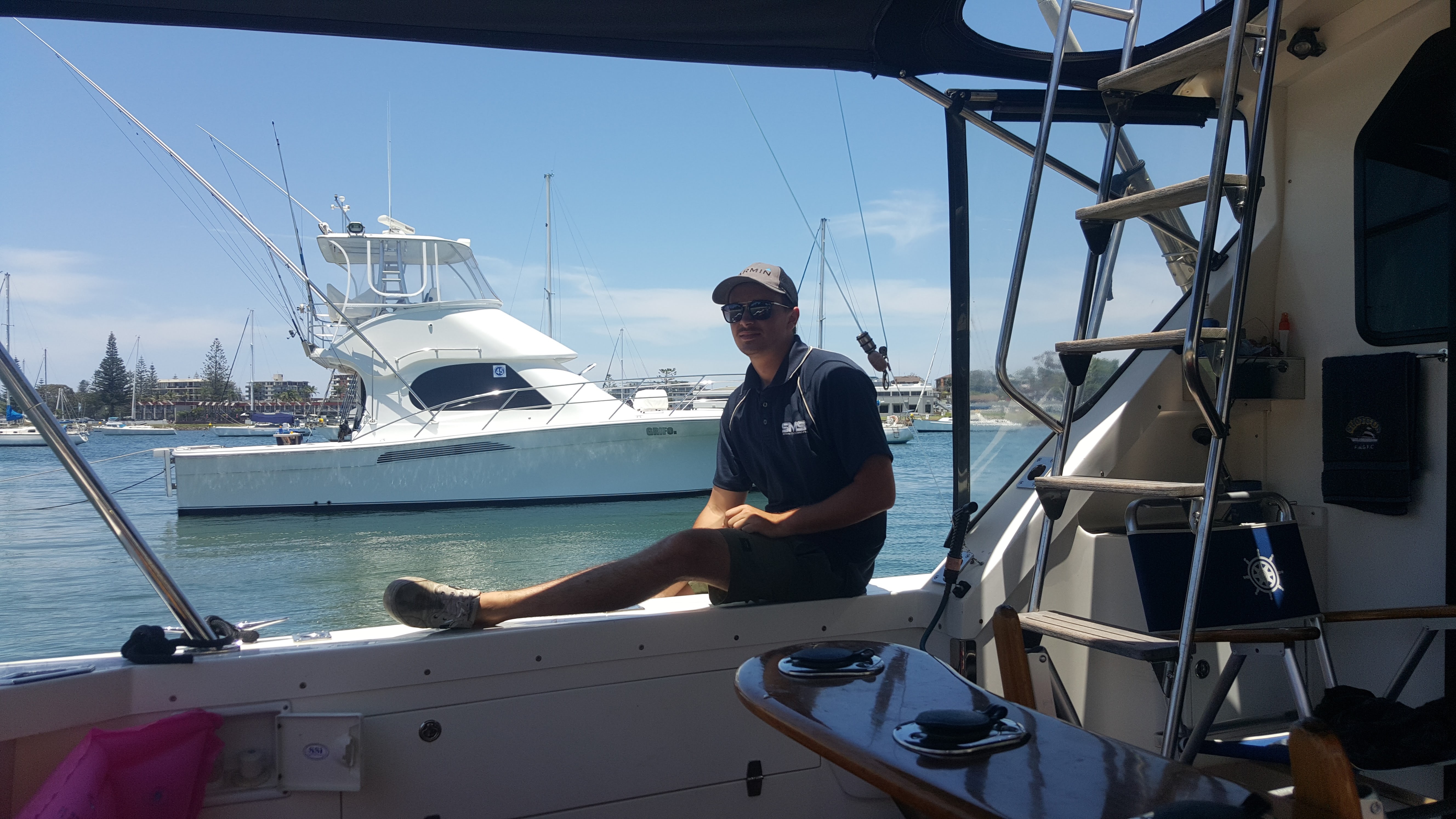
Kurt is a second-generation marine sparkie and the face behind PMMS. Trained under Tech Terry at Shotgun Marine, Garmin Marine, Raymarine, Simrad, Furuno - he’s grown up around boats, electronics and problem-solving - and now brings that experience to every job along the Mid North Coast.
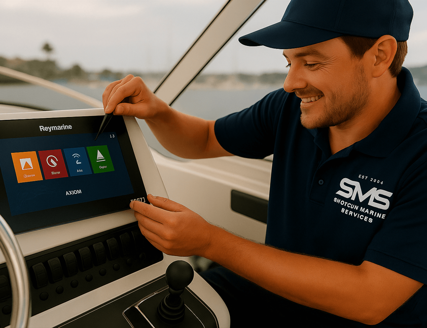
Whether it’s your first fishfinder or a full Raymarine Axiom upgrade, Kurt takes the time to do the job properly. No shortcuts, no guesswork — just systems that work when you’re offshore or heading home in a bit of slop.
Request a Callout or Quote
If you’re looking to upgrade, diagnose an issue, or plan a proper electronics fit-out, get in touch and we’ll point you in the right direction.
Email: pmms@shotgunmarine.com.au
Service Area: Port Macquarie, Camden Haven, Laurieton, South West Rocks & surrounds - with extended service from Newcastle to Brisbane for project work.
Book a Marine Electronics Service
Proudly powered by Shotgun Marine.
Local knowledge. Generational experience. Big-brand backing. That’s the PMMS difference.


